Saturday Morning

The interior of the cabin in daylight

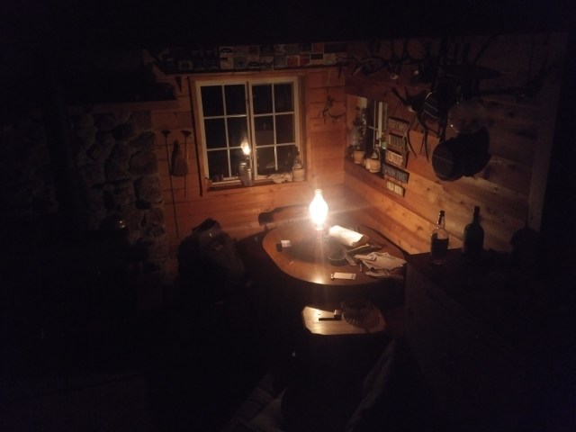
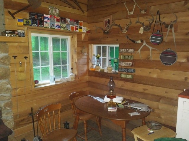
I was honestly surprised to be awake at 8:00 AM and yet, there I was, staring at the ceiling of the cabin. I laid there for what seemed like an eternity (it was really about two hours), processing everything that had gone on the day before.

Another view of the interior of the cabin. I slept in (on?) the top bunk
The top bunk and yes, it was exactly as comfy as it appears!

Slowly, my companions awoke, grumbling. They had elected to stay up much later than I, as they had not been up and driving all over the state since 4:30 the previous morning. We lay in our respective beds, saying things (mostly unintelligible nonsense), for a spell.

It was a rainy morning

Eventually, the hunger came for us. The need for coffee grabbed a hold of me something fierce, as well. I require it, you see.

Raiding the kitchen pantry, we came up with the requisite materials: rolled oats, mixed fruit (you know, the snack pack sort in the little plastic tub) and COFFEE. The oats with fruit went well enough on the gas stove but the coffee was a little tricky, as none of us had used a stove top percolator before. Unafraid of making a fool of myself, I ventured to use the strange device to make the needed beverage. Other than making the mistake of attempting to boil the water in a tea kettle rather than the percolator, I’d say I made a fine pot.

Now fed and energized, we only had to await the waking of our host to continue our adventure. Around noon, he ambled over to invite us to his cabin (it has ELECTRICITY!) for conversation and more COFFEE. Eventually, it was time to hit the road once again.

Inside the Jeep, moments before departure

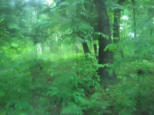
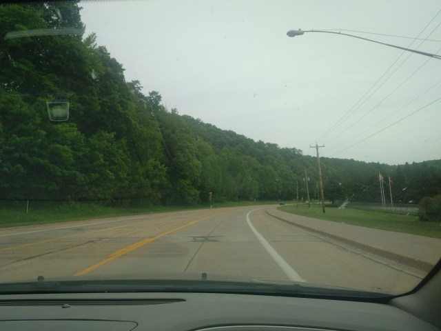
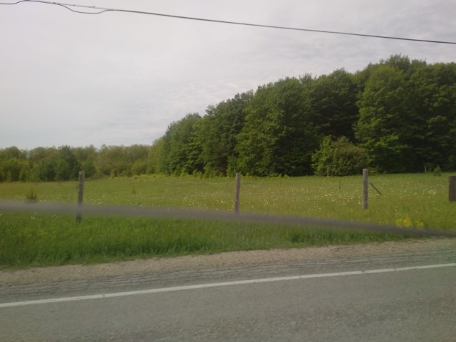
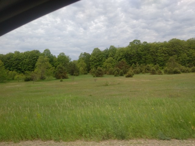
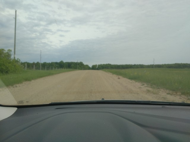
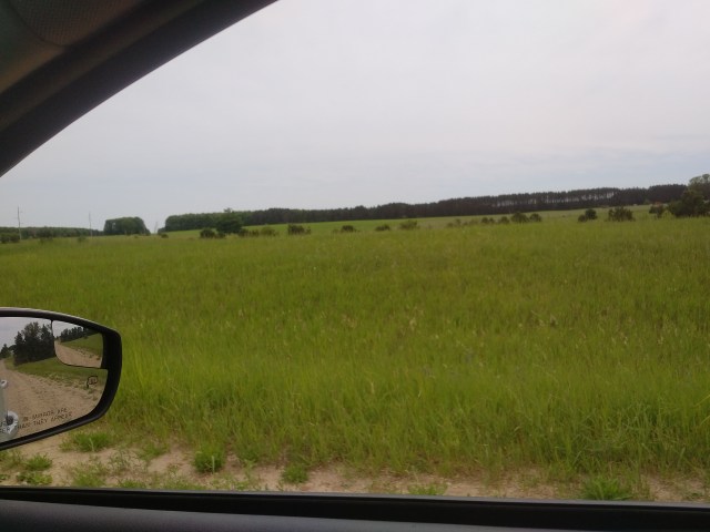
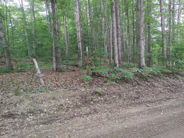
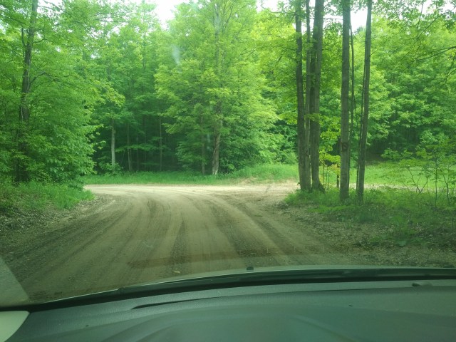
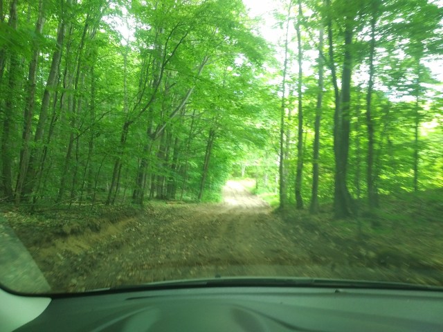
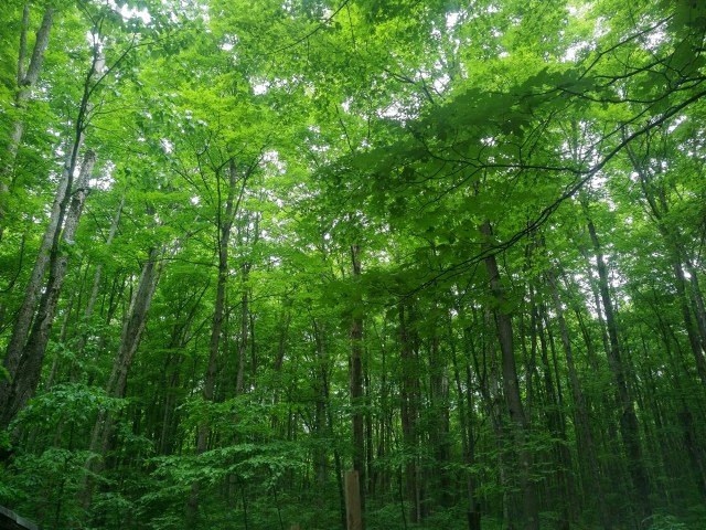
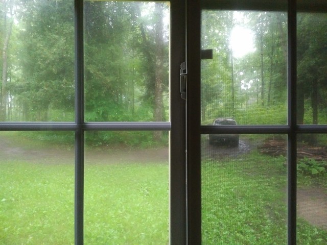
Once again, we piled into the Jeep and traversed the dirt (mud) road. Rob wasn’t kidding at all when he told us the sedans wouldn’t have made the trip. In the night, we could FEEL some bumps here and there, but to SEE the craters, potholes and lakes with water up to and over the Jeep’s axles was something else entirely. Four wheel drive and ground clearance were absolutely necessary.

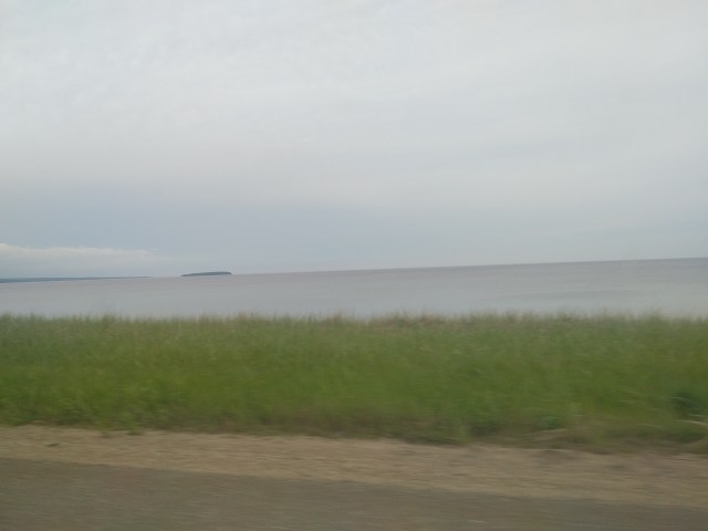
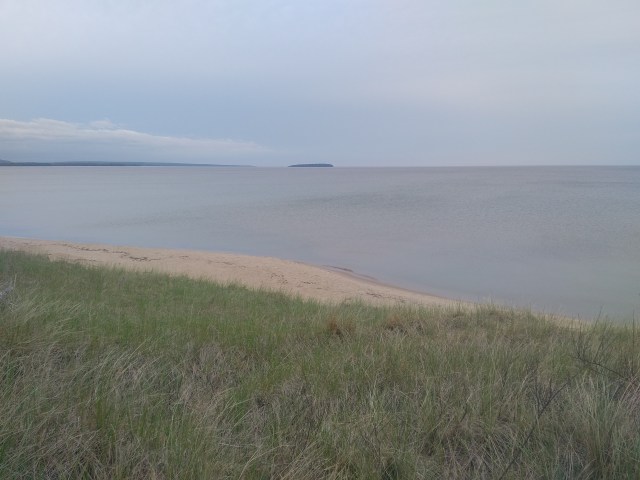
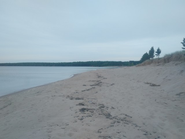
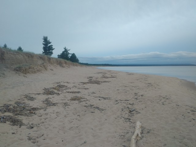
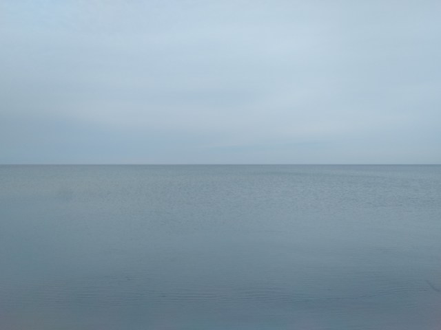
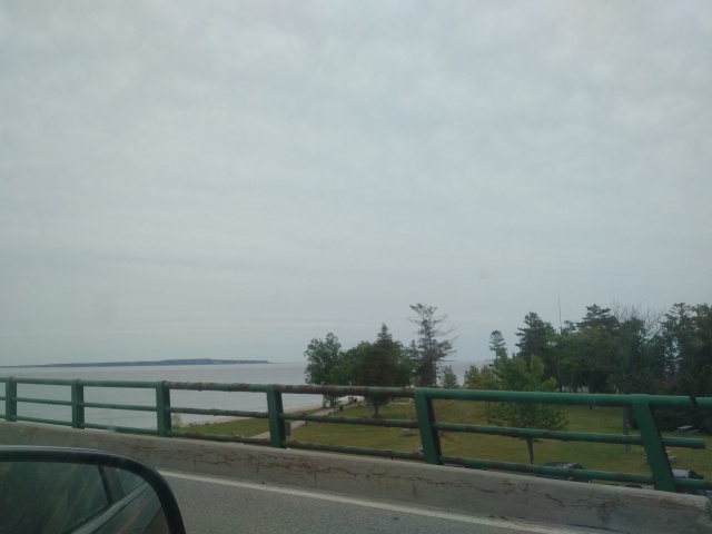
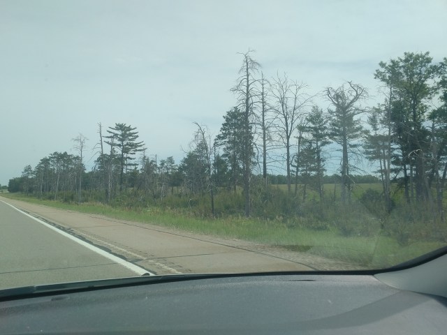
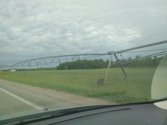
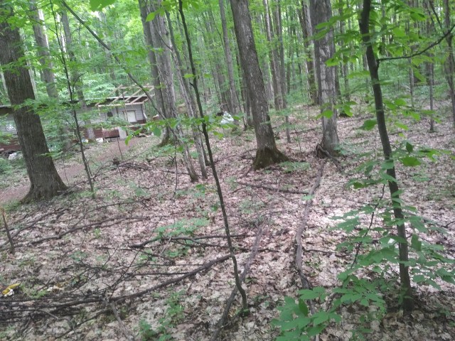
I did my best to document these road hazards and the relaxing forest scenery:

You can KIND OF see a road lake here, center-left of the windshield, it looks like a white spot

Another road lake

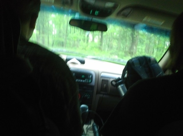
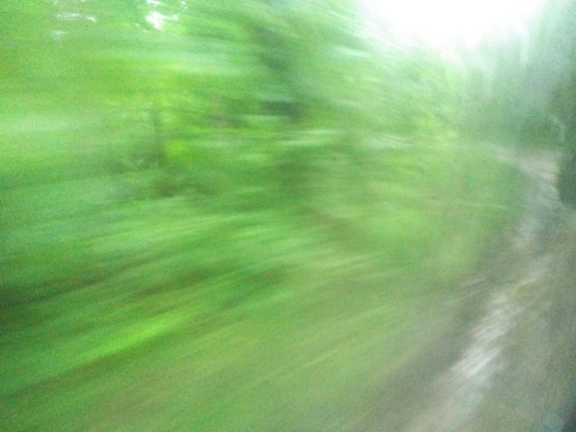
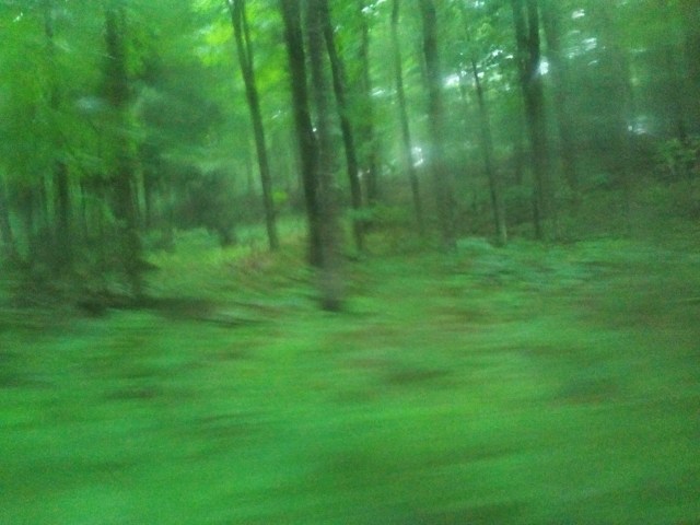
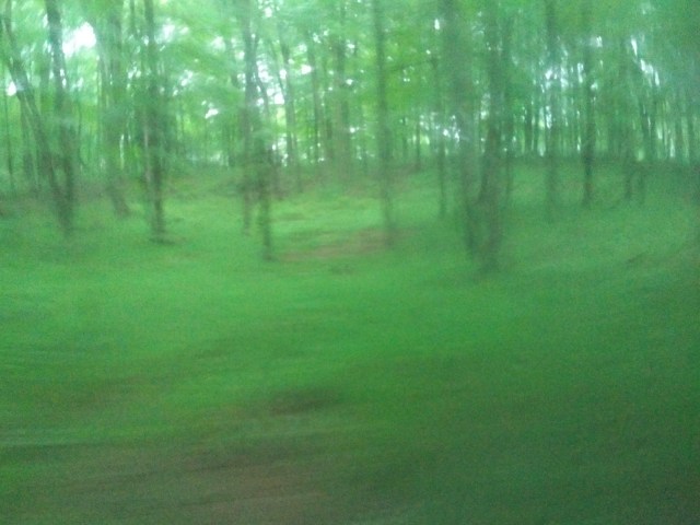
Yeah, those didn’t turn out the way I thought they would at all. Hopefully they’re enjoyable anyway!
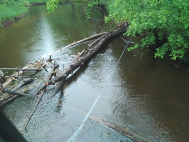
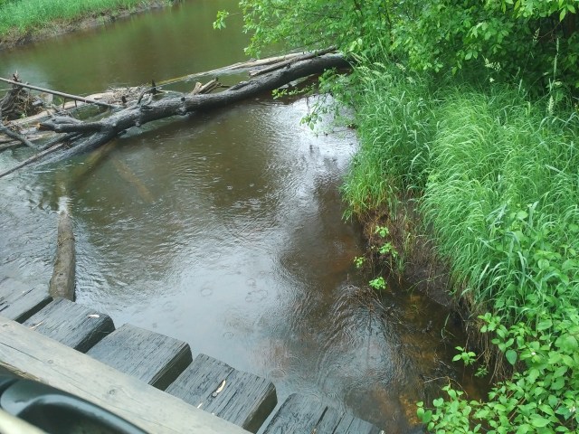
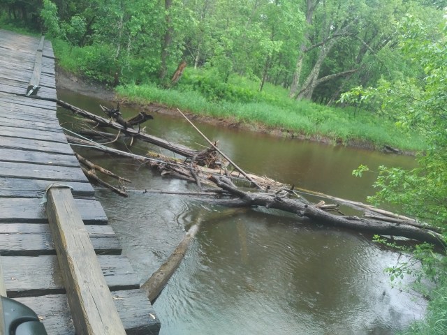
The Bridge:

Along the trail, you must cross this neat little gated bridge. I didn’t get a very good look at it the night before, in the dark and all, but had an inkling it was interesting. I especially enjoyed how the only railing or safety device is some posts laid down and nailed to the top.

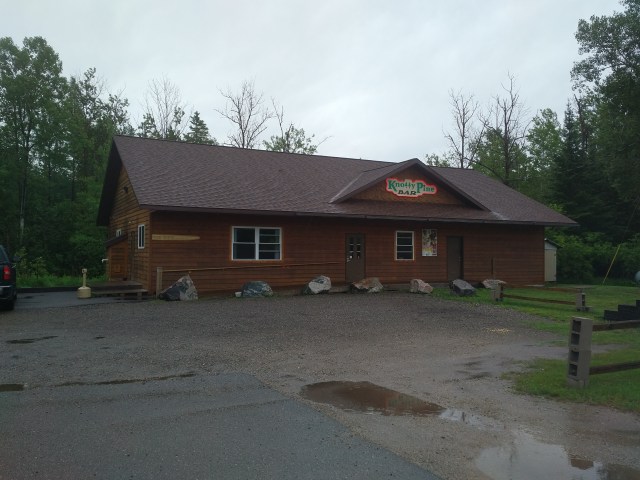
Completing another entertaining trounce through the woods, we returned to the Knotty Pine, found our birds in good condition, loaded up and headed to the pow wow. I will tell tales of the pow wow experience in a subsequent post or posts!

Thanks again for reading along and don’t forget to check out the other entries in the (seemingly never-ending) saga of my wacky road trip (in order from first to latest):

Note: I didn’t realize how many posts I’d made about the trip and how much actual content there is, it must have been this big thing and I haven’t realized it yet! Wow!

Onward & Upward!

A nice view of Lake Superior from the car

After stuffing face at Clyde’s, we jumped in the car for ANOTHER lengthy drive (this is still Friday afternoon, mind you!), this time to Marquette, which is on the northern coast of the Upper Peninsula. Once again, the photos aren’t fabulous, but like whatever, man, I was in the car all day. I need to get a photo editor.

ANYHOW. Here are some scenes from the drive:

I THINK this is Hiawatha National Forest
I’m not sure the year, make, or model, I just thought she looked great

You can just see the lake wayyyyy down the road in the center

We stopped along the way to have a look at Lake Superior and do some beach combing, turning up a few nice items. I THINK this was Au Train Beach.

An assortment of neat shells and a vertebrae!

Moving on from the beach, we landed in Marquette, which, unfortunately, I do not have any good pictures of. It is, however, a neat town which reminds me of Grand Rapids. We did not spend much time in town, other than to collect our friend, Ethan, gas up and grab a bite to eat.

I did manage to grab ONE blurry picture of an incredible sunset:

Next stop was the Knotty Pine, which is located either in Arnold or Felch Michigan, depending on who you ask.

This photo of the Knotty Pine was, admittedly, taken the next day, as it was dark out when we arrived Friday night

There, we met up with another friend, Rob, who was kind enough to let three madmen crash in his cabin for the night. After climbing in his Jeep (he assured us the sedans we showed up in would NOT be capable of making the drive and was absolutely correct), making sure our birds were safe and secure at the Knotty Pine and about a half hour journey up a treacherous road, we arrived. I went to bed as soon as possible. After 15 or 16 hours on the road, touring museums and sightseeing, I had HAD IT.

Around midnight: FINALLY to bed!

Thus ended Friday.

As always, thanks for reading along, stay tuned for more entries in the road trip saga and be sure to have a look at the other posts in this series:

St Ignace: Just Over the Bridge!

A typical UP souvenir shop in St. Ignace.

Note: I am writing this on Monday after I returned home, due to lack of Internet and wireless service during my time in the Upper Peninsula. Also, I have received reports of funny things going on with the previous posts, due to the same issues, and will fix these as I spot them and am able! More posts chronicling the trip will be up during the week as I write them!

Another note: I am experimenting with different formats to make the blog as pleasant to read as possible, please bear with me as they may not always be consistent!

After crossing the Mackinac Bridge into the UP, we stopped in St. Ignace, the first town you land in at the northern foot of the bridge.

The mission at St. Ignace was founded in 1671 by Father Marquette, the famous Jesuit missionary and named after St. Ignatius of Loyola. It is a small, charming town situated on a funny peninsula which places Lake Michigan on it’s west bank and Lake Huron on the east.

I will share with you (not great in my opinion, but cut me some slack, I was driving all day!) photos and details of St. Ignace, including the Museum of Ojibwa Culture and one of the best burgers I’ve ever had!

Assorted Pictures

IMG_20180615_1332347.jpg
I thought this sandy tree growth thing looked cool, it’s near the foot of the Mackinac Bridge.
A nice view of what I presume is Lake Huron
A random shot in town which clips off half of an interesting, vintage souvenir shop sign

Museum of Ojibwa Culture and Grave of Father Marquette

Our first stop in town was the Museum of Ojibwa Culture (link to their official website). This museum, housed in the former St. Ignace Mission, chronicles the history of the Ojibwa native culture in the Midwest and Canada. I did not take any pictures inside.

Exterior of the Ojibwa museum

On the site is a traditional birch bark hut:

Exterior of the hut, showing the entrance, which faces East per local custom
Close up of the main entrance
An interior shot, showing the traditional framing and log seating
Honestly, I just thought the roof looked cool

Also on the site is the grave of Father Marquette, the renowned Jesuit missionary previously mentioned. For further reading on Father Marquette, please visit this link to a Wikipedia article. The following photos of the site are presented without captions, as they are self-explanatory.

Fort de Buade Museum

Next stop was the Fort de Buade Museum (link to tripadvisor), in which I was able to grab a few photos inside.

This was a neat game
French and Native words for each animal
I was unable to guess any of the furs
I thought the trading post, in particular that red and black blanket coat, was neat
I thought this US Navy beadwork sash (maybe it’s a belt?) was interesting

Lunch @ Clyde’s

After the museum tours, it was time for lunch. John insisted we stop at Clyde’s (link is to tripadvisor, Clyde’s doesn’t seem to have an official website), an old-fashioned, cash-only diner and drive in (!) on the outskirts of town. I was not disappointed in any way and in fact should have ordered MORE food if anything.

The excellent and diverse menu, which might be hard to read
A giant, delicious cup of coffee
The jalapeño burger, which, yes, is served on that piece of paper
There are no plates at Clyde’s and frankly, you don’t need them

After lunch, we jumped in the car and headed to Marquette to meet up with another friend. I will most likely write of this drive (yes, there was MORE driving this day!) tomorrow.

Thanks again for reading along and be sure to check out the other posts in this series:

Crossing Over

You can just see the Mackinac Bridge off in the distance, dead ahead

Heading North from the farm, we soon arrived at the Mackinac Bridge, which connects the Lower and Upper Peninsulas of Michigan. I was now going to play passenger for the duration of the trip and was/am glad of it.

Beginning the crossing

The crossing itself was uneventful. The view, however, is breathtaking and I doubt these photos do it any justice.

I don’t think you can see it very well, but the Mackinac City Lighthouse is to the right

I forgot to mention my friend brought his birds as well. Neither of us can function properly without a court of fowl.
Here, you can see both Mackinac (left) and Bois Blanc (right) Islands

After crossing the bridge, we stopped in St. Ignace to view some museums and grab lunch. I will detail this in the next post.

Note: it has been brought to my attention these posts are not uploading correctly, I may have to re-do them and post the remaining content in a burst.

Please check out the other posts in this road trip series:

As always, thanks for reading along!


End Of The First Leg

I’m not sure what was going on with these trees

(Please view the other posts in this series here, here and here.)

Eventually, I drew nearer to the end of the first leg of my journey, a weird farm and wooded property on an even weirder road.

I thought there was something wrong with these trees, but apparently they are called Jack Pines and are just like that.

The next few photos, presented without captions, show the rural area surrounding the farm which was my destination:

After this point, I arrived at the road leading to the farm and things got a little……tight. It was a good time finding my way though!

Finally reaching the property!

I didn’t have time to grab anymore photos here before we moved on to the UP.

Note: Internet is spotty up here, I’m not sure when I’ll be able to post updates! Thanks for following along anyhow!